Canadian Census Geography Hierarchies with WKT Boundaries (2021)
This collection includes ten datasets detailing the hierarchy of Canadian Census geographies. Each dataset represents a specific geographic hierarchy, from broad administrative levels down to detailed census areas. Hierarchies included are, for example:
Province → Census Division
Province → Census Division → Aggregate Dissemination Area → Dissemination Area
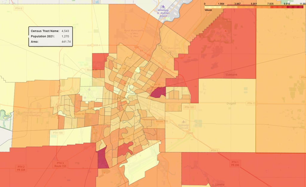
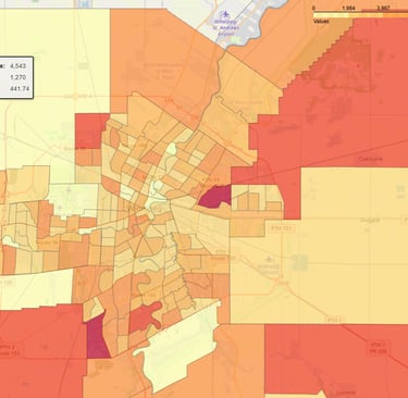
Province → Census Metropolitan Area → Census Tract
A separate dataset provides WKT polygon boundaries for all leaf-level geographic areas, enabling spatial analysis and mapping. All geographic areas also include population and area metrics, allowing detailed demographic, economic, and spatial analyses.
All datasets are based on the 2021 Canadian Census geography hierarchy, providing a comprehensive and standardized view of Canada’s administrative and census structures.
To contact us and discuss acquiring our datasets, please email: sales@datalv.io

The clarity and ease of use in DataLV’s data catalog have transformed our data handling. It’s made our processes much more efficient!
Alex Smith

DataLV’s comprehensive and easy-to-understand datasets have made our data analysis tasks much simpler and faster.
Jordan Lee
